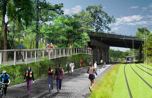
Visions show the incredible potential of the Atlanta Beltline

Posted November 4, 2011 at 1:25PM
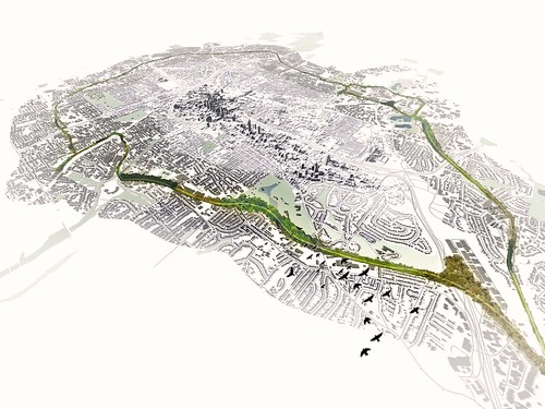
Regular readers of my work know that I return periodically to a few favorite city sustainability projects, following their evolution over time. One of those is the Atlanta Beltline, that city's ambitious plan to transform an old railroad loop around downtown into a showcase transit, trail and parks corridor, spurring revitalization and the construction of workforce housing along the way. I last profiled it in some depth here.
The economic slump couldn't have come at a worse time for the Beltline. But there has at least been significant progress on park and trail development around the corridor, and that progress coupled with the prospect for transit has already catalyzed some good revitalization of formerly distressed neighborhoods in Atlanta's core.
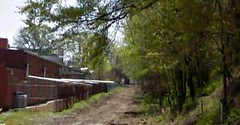
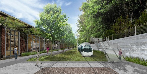
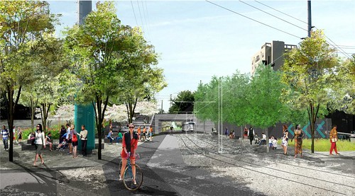
Recently I came across some great renderings that demonstrate why this project has such immense potential. Consider, for instance, the before-and-after images of this segment near Irwin Street:
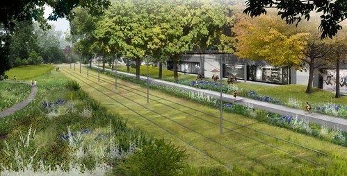
And, yes, the plan is to have a green track bed for the Beltline where feasible.
Here's another before-and-after (apologies for the poor quality of the "before," which I grabbed from Googe Earth's Street View). In the vision, note the recreational trail running alongside the transit:
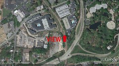
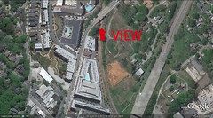
For the remainder, I wasn't able to get accurate "before" images but I can show the approximate perspective from the normal Google Earth satellite view:
Wow. I know it's just a rendering, but that is definitely what the city should aim for when running transit alongside parkland.
In the next two images, the overpass is Highland Avenue:
If, like me, you believe that cities should continually evolve toward sustainability, and that we must plan innovative 21st-century projects to attain world-class, 21st-century cities, you have to be rooting for the Atlanta Beltline. Take a look at the Beltline's main website for much more detail on its objectives and progress, and consider getting involved to help make it happen
Move your cursor over the images for credit information.
