New online guide highlights the (sometimes hidden) beauty of Washington, DC

Posted September 24, 2012 at 1:27PM
As a longtime and loyal DC resident, I’m biased on this one. I think my city is beautiful, and I am pleased that so many visitors seem to think so, too. As I’ve written before, it’s not just the so-called “monumental core” where all the iconic federal buildings are, though that’s part of it. It’s the human-scaled architecture of the neighborhoods; it’s the majestic in-town wilderness of Rock Creek Park and the urbanity of Dupont Circle; it’s the walkability of our density coupled with the abundant natural light that our limit on building heights allows; it’s the trees.
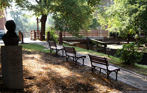
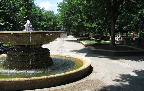
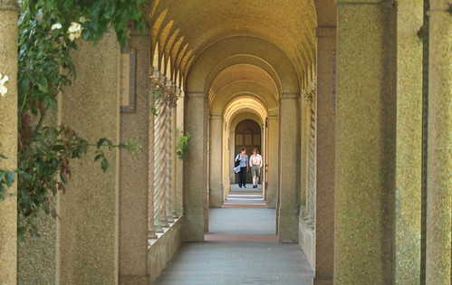
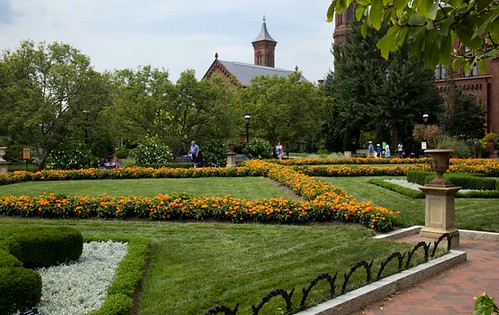
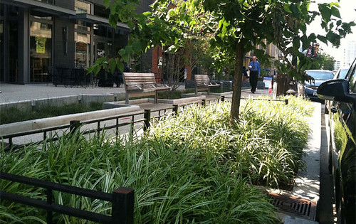
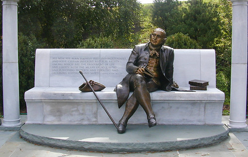
Washington is a major tourist destination and has had many guides written for and about it. But there’s a new one, and it’s both unique in its point of view and fabulous. Produced by our friends at the American Society of Landscape Architects, which puts out consistently fabulous work, The Landscape Architect’s Guide to Washington, DC contains a nicely organized collection of 800 photographs with commentary by 20 landscape architects.
As Nancy Somerville, ASLA’s executive vice president and CEO, commented in a press release, “D.C.’s vibrant public realm didn’t just magically appear but was carefully designed over the years, and is continually evolving, through interactions among elected leaders, communities and landscape architects.” And other kinds of architects, and planners, too, I would hasten to add.
The guide is divided into 16 distinct “tours” in the District—as well as a tour of the city’s bicycle network. Each covers multiple neighborhoods within a part of the city, and each includes a printable walking or biking map, directions, and the location of nearby Metro stations. It is designed to be mobile-friendly, too, so you can let your smart phone or tablet be your guide as you check out the locations. The commentary on each site is succinct and terrific.
All the photos you see here are from the site. I was glad to see that they got out of downtown and explored the nooks and crannies a little bit. I think the city's residential areas are shortchanged, but that’s understandable given that the guide was created with visitors in mind, and to be used in actual tours; it’s not just a collection of beautiful photos. I’m not sure if a print version is in the works, but the content would make for a good one.
Whether you’re a local or a tourist, you can (and should) check out the guide here.
Related posts:
- Can the National Mall be re-imagined as a place for people? (April 18, 2012)
- DC zoning update seeks to legalize, encourage better neighborhoods (February 23, 2012)
- A spiffy green waterfront begins to take shape in DC (January 19, 2012)
- A musical & visual homage to one of our greatest city parks (October 7, 2011)
- Celebrating the vernal city (photo essay) (April 15, 2011)
- How a great public space anchors a great city neighborhood: DC's Dupont Circle (August 5, 2009)
- Unofficial Washington: how architecture shapes the real city (November 24, 2008)
Move your cursor over the images for credit information.
Please also visit NRDC’s sustainable communities video channels.
